The Leland Trail
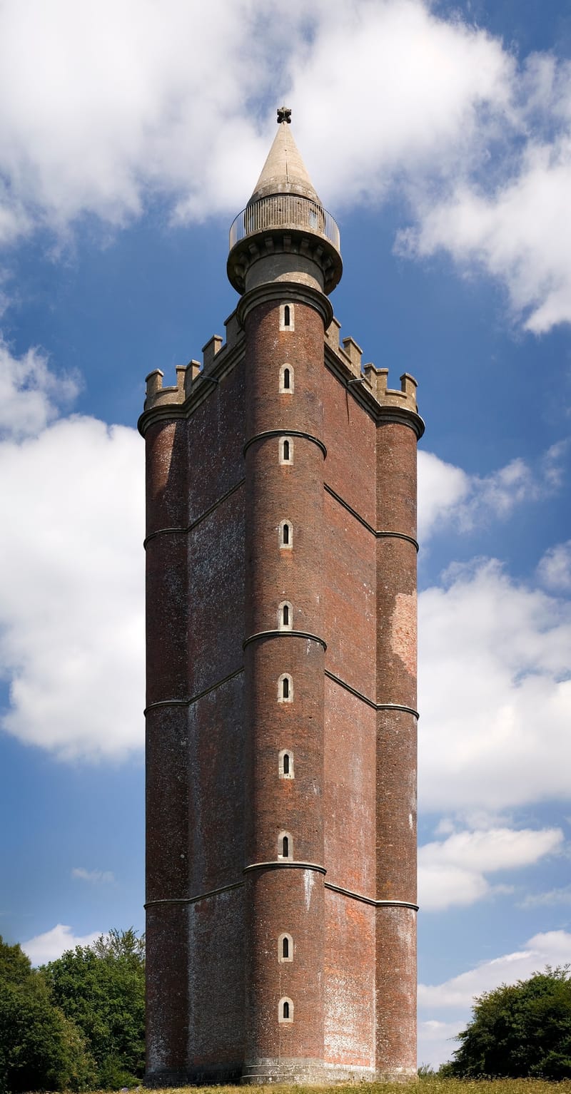
[King Alfred's Tower; Image from Wikipedia 02.11.2021; By Jürgen Matern - own work (JMatern_060808_1518-1521_WC.jpg), CC BY-SA 3.0, https://commons.wikimedia.org/w/index.php?curid=2702512]
The 28 mile (45 km) Leland Trail is waymarked from King Alfred's Tower at Stourhead (on the East Somerset border) to the village of Stoke sub Hamdon, beneath Ham Hill. It follows the route taken by John Leland (1503-1552) on one of his antiquity-hunting 'Itineraries' commissioned by Henry VIII.
The Leland Trail intersects with the 625 mile footpath of the Monarch's Way at Ilchester; this follows the escape route taken in 1651 by Charles II after his defeat at the Battle of Worcester. It also links with the 28 mile Liberty Trail, the route taken from Ham Hill to Lyme Regis in 1685 by villagers joining the Pitchfork or Monmouth Rebellion against James II. In addition, it joins the 50 mile River Parrett Trail at Ham Hill; this runs north to south, from the mouth of the River Parrett on the North coast of Somerset to Chedington in Dorset.
The walk starts at King Alfred's tower, built in 1768 to mark the end of the 7 years war and the accession of King George III, it is said to be close to where Alfred the Great, King of Wessex, rallied the Saxons in May 878 before conquering Danish army at the Battle of Edington. The Leland Trail passes through Bruton and continues to Castle Cary, where the 14th century market cross would have existed in Leland's day. After that the route goes to North Cadbury then to South Cadbury and Cadbury Castle. Leland identified Cadbury Castle Hill Fort with Camelot, and says of it:
After this the trail passes through Queen Camel, West Camel and passes Yeovilton airfield on its way to the Roman Town of Ilchester (Roman Lindinis).
From Ilchester the trail passes through Montacute and goes across Ham Hill, with its panoramic views, to the finish in Stoke-sub-Hamdon. The following map, accessed from the GPS-routes Leland Trail website (02.11.2021), shows the route from Kissmedown Lane to its end in Stoke-sub-Hamdon.
 Downloadable PDF file of the Leland Trail available from the VisitSouthSomerset website: