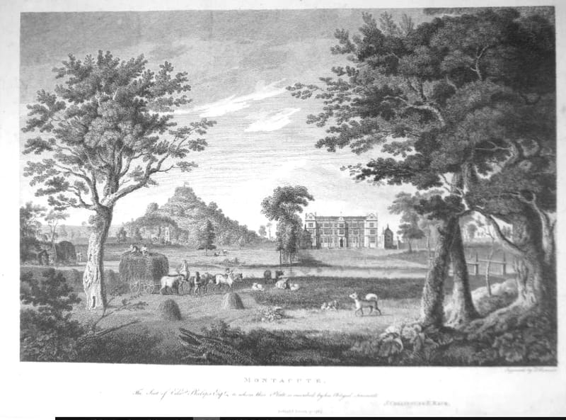
Collinson & Rack's Survey of Montacute, 1782-86

Edmund Rack (1735-1787) was a Norfolk Quaker who moved to Bath in 1775. Founder of the Bath and West Agricultural Society, between 1782 and 1786 he performed a topographical survey of the Parishes of Somerset but died before the completed work was compiled for publication; this was done by the Rev. John Collinson (1757-1793) of Wiltshire. Collinson focused on historical information, such as manorial descents and genealogy, rather than topographical information, and archives held by the South West Heritage Trust include additional notes by Rack which never made it to publication, e.g. "descriptions of villages and houses; agriculture, land use, crop information, and industries; detailed descriptions of most parish churches, with many more monumental inscriptions than were published; and sketched illustrations. In particular, the notes shed a unique light on the appearance of many Somerset churches before the Victorian restorations which altered their interiors beyond recognition."
The survey was published in 1791 in 3 parts under the title: The history and antiquities of the county of Somerset collected from authentick records and an actual survey made by the late Mr. Edmund Rack. Adorned with a map of the county, and engravings of Roman and other reliques, town-seals, baths, churches, and gentlemen's seats." by Collinson, John, and Rack, Edmund. The section on Montacute (in the parish of Tintinhull) is given below.
GS has pointed out an anomaly in the second paragraph where it states: “..whereon stands a round tower sixty feet in height, and crowned with an open balustrade. On this tower is a flag staff fifty feet high, on which a flag is occasionally displayed, floating fifty-six yards in the air…..”. This implies either the flag is flying at a height of 56 yards or the flag is 56 yards in length; both of which are highly unlikely. From the measurements given, a 60ft tower with a 50ft flagstaff puts the flag at max. 37yds up. Also, a 50ft flagstaff seems improbable as it would be incredibly difficult to brace; 100 years later there is a much smaller contraption on top of the tower which is unlikely to be more than 15ft high at the very most (my page https://www.becsnotes-montacute.co.uk/montacute-snippets/st-michael-s-hill-and-montacute-tower and also http://www.jstor.org/stable/26106493). I even checked the height of the hill itself; according to https://www.freemaptools.com/elevation-finder.htm the summit of St Michael’s Hill stands 236ft (79yds) above ground level in the village at the Church so that height doesn’t solve this puzzle. One day I hope to read Rack’s original notes at the South West Heritage Trust, maybe there’s a typo in there somewhere!
